
Page 43 - Geography_n_Environment
P. 43
Map scale
A map scale is the ratio between the distance on the map and
the real distance on the ground. The scale helps to show how the
measurements on the map correspond to real-world measurements.
The scale can be presented as a statement, representative fraction
FOR ONLINE READING ONLY
or ratio and linear scale.
As a statement
A statement scale describes the ratio of distance on the map to the
real distance on the ground using words. For example, one centimetre
on the map represents one kilometre on the ground.
As a Representative Fraction (R.F) or ratio
A representative fraction or ratio scale uses numbers to show the
relationship between distance on a map and real distance on the
ground, for example,
1
1:50000 or 50000 .
As a linear
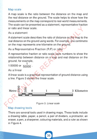
A linear scale is a graphical representation of ground distance using
a line. Figure 3 shows the linear scale.
1000 500
Metre 0 1 2 3 Kilometre
Figure 3: Linear scale
Map drawing tools
There are several tools used in drawing maps. These tools include
GSPublisherVersion 0.12.100.100
a drawing table, paper, a pencil, a pair of dividers, a protractor, an
eraser, a pen, a sharpener, colouring materials, and a ruler as shown
in Figure 4.
36
21/11/2024 16:58
GEOGRAPHY AND THE ENVIRONMENT-STD 4.indd 36 21/11/2024 16:58
GEOGRAPHY AND THE ENVIRONMENT-STD 4.indd 36