
Page 65 - Geography_n_Environment
P. 65
Questions
1. Which building is nearest to the lake?
2. Which building is nearest to the dispensary?
3. Which building is near the office?
FOR ONLINE READING ONLY
4. What other buildings are near to the lake?
5. Identify the building that is farthest from the football ground.
You can determine the distance from one place to another on a map
by following these steps:
(a) Measure the distance on the map between the two places; and
(b) Convert the map distance into the ground distance using the
scale.
This measurement can include both straight and curved features
and can be done with both digital and non-digital maps.
Measurement of straight distance
On a map, straight distance is measured using a piece of paper,
thread or string, a ruler, a pair of dividers, and a scale. In this section,
a piece of paper, a ruler, and a scale will be used.
1. Using a piece of paper
The following steps are involved in measuring distance on a map
using a piece of paper and scale:
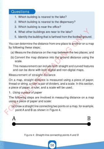
(a) Draw a straight line connecting two points on a map, for example,
point A and B as shown in Figure 4.
A B
Figure 4: Straight-line connecting points A and B
58
21/11/2024 16:58
GEOGRAPHY AND THE ENVIRONMENT-STD 4.indd 58
GEOGRAPHY AND THE ENVIRONMENT-STD 4.indd 58 21/11/2024 16:58
GSPublisherVersion 0.9.100.100